Loading...

In a world defined by data, geography has become the ultimate context for intelligence. Every decision, from defending borders to powering cities or choosing the next retail location, happens somewhere. That’s where Smart Navigator comes in: a next-generation geospatial intelligence platform that unites data, AI, and simulation into one powerful decision-making system.
Smart Navigator is built on the principle that maps should no longer be static images but living systems; dynamic, predictive, and deeply interconnected. It merges big data analytics, hybrid AI, and secure, interoperable architecture to transform traditional GIS into a real-time spatial intelligence engine.
In the defense sector, Smart Navigator delivers what commanders have long needed: situational awareness that thinks ahead. It fuses data from satellites, drones, sensors, and tactical systems into a single operational map. AI models detect movement anomalies, predict potential threats, and simulate tactical outcomes before decisions are made. Through immersive 3D and AR/VR environments, defense teams can visualize the battlefield, plan missions, and rehearse strategies with precision; ensuring faster responses and safer operations. And with quantum-secure communication and encryption, mission data remains protected even in the most hostile environments.
In the energy industry, Smart Navigator enables a new era of spatial efficiency and resilience. Power grids, pipelines, wind farms, and offshore installations can be monitored, analyzed, and optimized in real time. AI-powered predictive maintenance warns operators before failures occur, while simulation models test responses to weather events or network stress. By combining geospatial awareness with intelligent automation, Smart Navigator helps energy providers reduce risks, improve uptime, and accelerate the transition toward sustainable infrastructure.
For the retail sector, location intelligence becomes a strategic advantage. Smart Navigator analyzes demographics, mobility flows, and purchasing behaviors to pinpoint ideal store locations and optimize logistics. AI-driven forecasting predicts demand fluctuations, while spatial simulations model how urban changes; new roads, population growth, or economic shifts which will affect business performance. The result is smarter expansion, stronger supply chains, and a deeper understanding of customers through the geography of data.
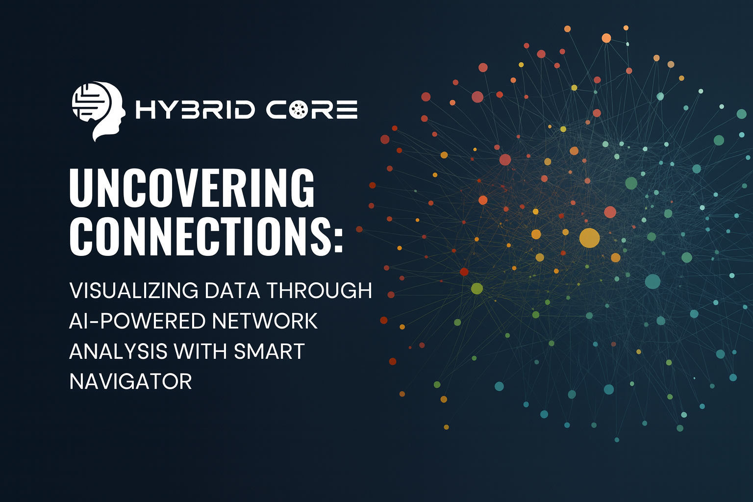
Across all these industries, Smart Navigator acts as the digital twin of reality; capable of observing, predicting, and guiding complex systems in real time. Its hybrid AI core bridges rule-based logic with adaptive learning, while its open, interoperable design ensures seamless integration with existing infrastructure, enterprise systems, and mission networks.
The outcome is not just smarter maps, but intelligent environments that understand context, anticipate change, and empower confident decisions. Whether securing a region, stabilizing a power grid, or mapping consumer behavior, Smart Navigator transforms spatial data into actionable foresight.
In short, it doesn’t just tell you where you are but also it helps you decide where to go next.
Posted on: Oct 14, 2025


HybridCore CEO Hasan Suzen Named “Smart & Secure Digital Transformation CEO of the Year 2024” at the European CEO Awards


Overflowing with dashboards, reports, and data streams, the real challenge isn’t just access to information but also it’s how teams talk about it, understand it, and act on it together.


A New Intelligence Layer for Complex Decision Systems